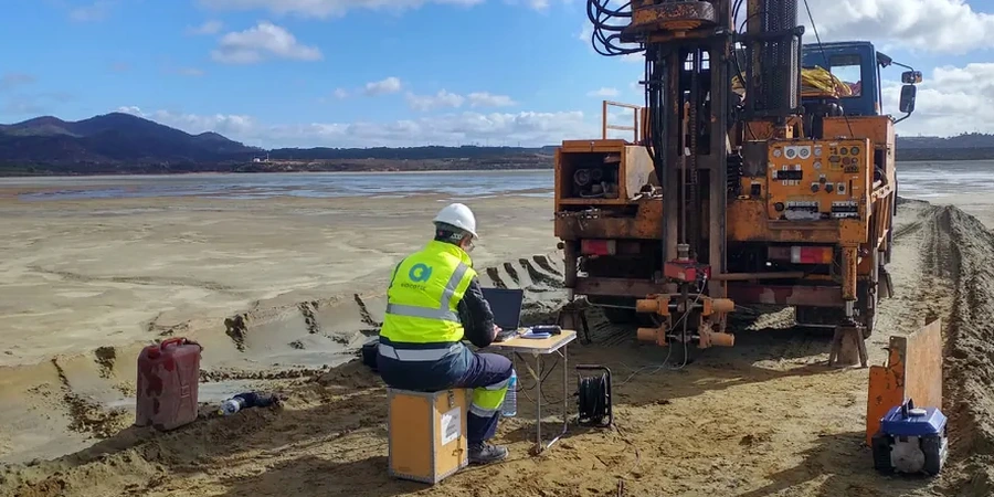
In Cairns, the soil profile can shift from dense residual clays to loose deltaic sands inside a single city block. That abrupt change matters when you are designing a structure for earthquake loads. We see too many projects relying on generic site class assumptions without verifying what sits beneath the slab. A proper seismic microzonation study maps amplification zones, identifies soft basins, and flags areas where long-period resonance could affect mid-rise buildings. Our work follows AS/NZS 1170.4 and incorporates shear-wave velocity measurements tied to local borehole logs. When the site straddles the boundary between the Whitfield Range foothills and the Barron River floodplain, we often recommend pairing the zonation with a MASW survey to capture VS30 profiles at closely spaced intervals, because the transition from Class B to Class D can happen over less than 200 metres here.
A site class jump from B to D within 150 metres is common in Cairns — generalised maps miss this and lead to underestimated base shear.
Service characteristics in Cairns
Typical technical challenges in Cairns
The most common mistake we see in Cairns is using a blanket Class C assumption for sites on the Barron Delta. Drill a borehole. Hit medium-dense sand to 6 metres. Assume Class C. But the shear-wave velocity of the underlying soft clay layer — which might sit at 8 metres — governs the site period. We have measured VS30 values under 180 m/s in Trinity Park lots that looked firm at the surface, pushing the site into Class D or even Class E. That changes the hazard spectrum significantly. Another recurrent issue involves the old mangrove mud lenses around the airport precinct. They amplify ground motion at periods that coincide with two- and three-storey framed structures, yet they rarely appear on regional hazard maps. Our microzonation catches these lenses because we sample the velocity profile down to engineering bedrock, not just to the first dense layer.
Our services
Our seismic microzonation work in Cairns typically bundles the following services, adjusted to the project scale and the site’s geological complexity:
Site class mapping
Grid-based VS30 measurement and NEHRP class assignment across the full project footprint, including transition zone delineation.
Amplification factor analysis
Calculation of Fa and Fv per AS 1170.4 Table 6.1–6.2 using measured VS30, validated against HVSR peak frequency.
Liquefaction susceptibility overlay
Integration of SPT data and grain-size curves into the zonation map, identifying zones where cyclic softening is plausible under the 1:500-year event.
Q&A
Does Cairns fall within a high-seismicity zone under AS 1170.4?
Cairns is classified as a low-to-moderate hazard area, with a hazard factor Z around 0.06–0.08 depending on the specific coordinates. However, the local soil profile can amplify that modest ground motion by a factor of 2 or more, which is why site class determination through microzonation directly influences the design base shear.
What is the typical cost range for a seismic microzonation study in Cairns?
For a standard residential subdivision or a commercial lot up to about 5 hectares, budgets in Cairns usually fall between AU$5,850 and AU$22,500. The spread depends on the number of measurement points, the depth to bedrock, and whether we need to combine MASW with seismic refraction or HVSR for deeper profiles.
How long does a microzonation campaign take on a typical Cairns site?
Fieldwork for a medium-sized site — say 3 to 5 hectares — usually wraps up in 2 to 3 days. Adding the data processing, inversion modelling, and map delivery takes another 5 to 7 working days, provided access is clear and weather cooperates during the wet season.