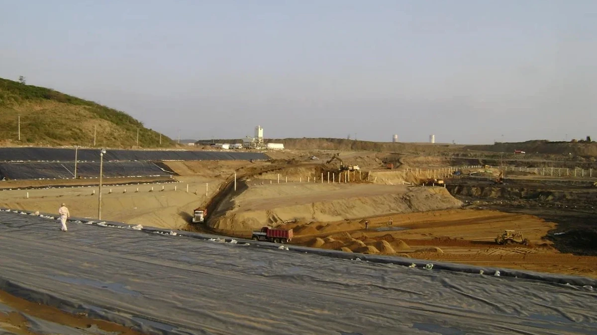
A common mistake we see is contractors treating Cairns ground like it's just another weathered rock profile from down south. But here in the wet tropics, that dense clay you hit at four metres can turn to slurry after a week of monsoon rain, and the groundwater table rarely sits where the desktop study said it would. Designing a deep excavation without accounting for the extreme seasonal saturation and the cemented lateritic layers typical of the Barron River delta is asking for trouble. Our team integrates in-situ permeability testing early in the design phase to quantify how fast water moves through these residual soils, which directly influences dewatering strategy and basal stability calculations. For projects near the Esplanade or the CBD fringe, where many excavations approach depths of 8 to 12 metres, the interaction between tidal groundwater fluctuations and retaining wall behaviour becomes a critical design parameter that standard software assumptions simply cannot capture.
In Cairns, the difference between a stable excavation and a collapse often comes down to how well you understood the soil's response to saturation, not just its strength in a dry sample.
Service characteristics in Cairns
Typical technical challenges in Cairns
The risk profile changes dramatically between a site in Edge Hill and one in Portsmith. Edge Hill sits on the lower slopes of the Whitfield Range, where you often encounter colluvium over fresh to slightly weathered granite — generally competent, but with unpredictable corestone boulders that can deflect a soldier pile during installation. Portsmith, on the other hand, is built on estuarine mud and loose silty sands overlying decomposed rock, with groundwater essentially at surface level. An excavation here without a properly designed cut-off wall can experience piping failure at the toe within hours. The proximity of neighbouring structures in the CBD also demands rigorous movement prediction using finite element analysis; a 20 mm settlement at the street level might be acceptable, but it can trigger angular distortion in a heritage-listed masonry building next door. Our designs incorporate the observational method per AS 1726, where trigger levels for inclinometer and settlement readings are defined before the first shovel hits the ground.
Our services
Our deep excavation design work in Cairns covers the full lifecycle from feasibility to construction support. Each project starts with a detailed geotechnical model of the site, built from In-Situ and laboratory data, and ends with a set of drawings and specifications the contractor can actually build from.
Retaining Wall and Shoring Design
Full structural and geotechnical design of embedded retaining walls for basements, pump stations, and tunnel portals. We use WALLAP and PLAXIS 2D/3D for soil-structure interaction analysis, outputting bending moment and shear force envelopes that comply with AS 3600 for reinforced concrete elements. Designs include detailed dewatering and drainage specifications tailored to Cairns' high-rainfall environment.
Excavation Impact Assessment and Monitoring Plans
Before breaking ground near sensitive infrastructure, we prepare impact assessments that predict ground movements using empirical and numerical methods. Each plan includes an instrumentation layout with inclinometers, piezometers, and survey points, plus clear amber and red trigger levels referenced to the specific tolerances of adjacent structures.
Q&A
What depth of excavation requires a detailed geotechnical design in Cairns?
Under AS 4678, any excavation deeper than 1.5 metres that will be open for more than a few days should have a documented design, but practically speaking, most projects in Cairns trigger a formal design once they exceed 3 metres. The presence of adjacent buildings, roads, or services can lower this threshold significantly. For a typical CBD basement going down 6 to 10 metres, a full soil-structure interaction analysis using limit equilibrium and finite element methods is standard practice.
How do you handle the high groundwater table during excavation design?
Groundwater is the single biggest challenge for deep excavations in Cairns. We design for the worst-case wet season level, not the dry season level measured during the site investigation. This usually means incorporating either a peripheral dewatering system with deep wells or a structural cut-off wall that keys into a low-permeability layer. We often specify in-situ pumping tests during the investigation phase to get reliable permeability values, because lab tests on residual soils tend to underestimate the mass permeability caused by relic jointing and root holes.
What is the typical cost for geotechnical design of a deep excavation?
For a deep excavation design in Cairns, the geotechnical engineering fee typically ranges from AU$3,460 to AU$11,800, depending on the excavation depth, complexity of ground conditions, and the level of instrumentation and monitoring required. A straightforward single-level basement on a greenfield site will be at the lower end, while a multi-level basement adjacent to heritage buildings in the CBD, requiring 3D finite element analysis, will be at the upper end.
How long does the design process take from investigation to approved drawings?
A typical timeline runs four to six weeks from the completion of site investigation to issuing construction-ready drawings. The first week covers interpretation of geotechnical data and development of the ground model. The second and third weeks are spent on analysis and wall design iterations. The final week or two is for drafting, peer review, and coordination with the structural engineer. Projects requiring council approval for excavation near public assets can add two to four weeks for the review process.