Geotechnical site investigation in Cairns forms the critical foundation for any construction or infrastructure project in this dynamic tropical environment. This category encompasses the systematic assessment of subsurface soil, rock and groundwater conditions to evaluate their engineering properties and identify potential hazards such as soft clays, loose sands, or reactive soils. In Cairns, where development ranges from residential subdivisions on hillside slopes to major commercial structures on former estuarine flats, a thorough understanding of ground conditions is not merely a regulatory formality but a fundamental risk management tool. The investigation process informs foundation design, earthworks specifications, retaining wall requirements and pavement performance, directly influencing project safety, cost and longevity.
The local geology of the Cairns region is complex and highly variable, shaped by its position between the Great Dividing Range and the Coral Sea. Much of the city's urban area is underlain by Quaternary alluvial deposits, including soft marine clays and estuarine muds up to 30 metres deep, particularly in low-lying suburbs near Trinity Inlet and the Barron River delta. These sediments exhibit low bearing capacity, high compressibility and potential for long-term settlement, demanding careful geotechnical evaluation. Hillside areas, especially around the Northern Beaches and Redlynch Valley, are characterised by residual soils derived from weathered metamorphic and granitic rocks of the Hodgkinson Province, which can vary dramatically in strength over short distances. The region's high rainfall, averaging over 2,000 mm annually, and tropical cyclone exposure further complicate ground behaviour through elevated groundwater tables, soil saturation and erosion potential.
Geotechnical investigations in Australia must comply with a robust framework of national and state standards. The primary reference is AS 1726:2017, Geotechnical site investigations, which sets out requirements for planning, execution and reporting. In Queensland, specific provisions under the Building Act 1975, the Planning Act 2016 and local government planning schemes—such as the CairnsPlan 2024—mandate geotechnical assessment for certain development types, particularly on slopes exceeding 15%, in areas of acid sulfate soils or within flood hazard zones. Investigations must also align with relevant design standards including AS 2159 for piling, AS 2870 for residential slabs and footings, and AS 4678 for earth retaining structures. Adherence to these standards ensures that site-specific risks are identified and mitigated early, protecting both the developer and the community.
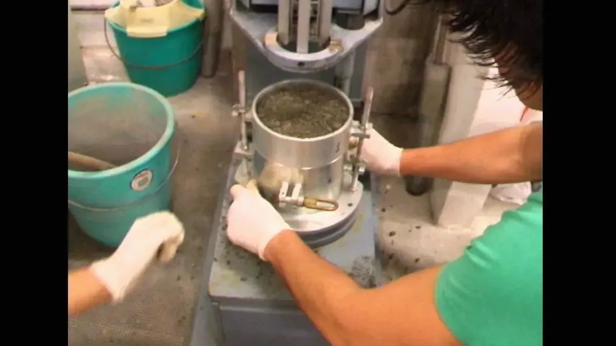
A wide range of projects in Cairns require professional geotechnical investigation. Residential developments on sloping sites or in areas with known reactive clays demand soil classification and foundation recommendations to prevent cracking and movement. Medium to high-rise commercial buildings, particularly in the Cairns CBD where deep soft sediments prevail, rely on advanced testing such as the Cone Penetration Test (CPT) to profile stratigraphy and derive pile design parameters without the disturbance of traditional drilling. Infrastructure projects including roads, bridges, stormwater drainage and seawalls along the Esplanade or Marlin Coast require assessment of subgrade strength, scour potential and marine sediment behaviour. Even smaller structures like retaining walls, swimming pools and solar farm arrays benefit from targeted investigation to avoid costly over-design or unexpected ground failure.
Available services
Common questions
When is a geotechnical investigation required for a building project in Cairns?
A geotechnical investigation is typically required for all Class 2 to 9 buildings under the Building Code of Australia, as well as Class 1a dwellings on sites with slopes greater than 15%, in areas of soft or fill soils, or where the CairnsPlan 2024 identifies hazards such as flood, landslide or acid sulfate soils. Local council development conditions often mandate an investigation to inform footing design and earthworks approval.
What information does a typical geotechnical site investigation report provide?
A comprehensive report provides a description of the site geology, subsurface profiles from boreholes or test pits, laboratory test results for soil strength and reactivity, and engineering recommendations. This includes bearing capacity, estimated settlement, site classification to AS 2870, groundwater observations, excavation conditions, and specific advice for foundation type, retaining structures, and pavement design.
How deep do geotechnical investigations typically go for residential projects in Cairns?
Investigation depth depends on the proposed structure and ground conditions. For standard residential slabs, boreholes or test pits often extend to 2.0 to 3.0 metres, or deeper if soft clays exist. Where deep foundations such as piles are anticipated, particularly in the soft alluvial soils of the Cairns coastal plain, investigations may exceed 20 metres to reach competent bearing strata, with methods like CPT providing continuous profiling.
What is the difference between a site classification and a full geotechnical investigation?
A site classification under AS 2870 characterises the soil reactivity for residential slab design and is a subset of a full geotechnical investigation. A complete investigation is broader in scope, addressing bearing capacity, settlement, slope stability, retaining wall design parameters, and groundwater management. For complex sites or larger structures, a full investigation is essential to meet the requirements of AS 1726 and structural design standards.