Cairns sits on a complex geological foundation of deeply weathered metasediments and granite, blanketed by tropical residual soils that can exceed 15 metres in thickness. The local water table often lies within three metres of the surface, and the monsoonal wet season from November to April delivers over two metres of rain. We see excavation faces in the Barron River valley and Redlynch areas that hold up perfectly in the dry season — then collapse within hours of a sustained downpour. Our team deploys monitoring arrays that track pore-water pressure, lateral deformation, and vibration in real time. Before opening a large cut, many contractors combine our slope stability assessment with continuous monitoring to avoid the rework costs that come from unplanned failures.
In Cairns, a monitored excavation is a controlled excavation. Without real-time pore-pressure data, you are guessing when the next rain will trigger a slip.
Service characteristics in Cairns
Typical technical challenges in Cairns
The most expensive mistake we see on Cairns sites is cutting a near-vertical face in residual soil during August, when the ground is dry and apparently hard, then leaving it unsupported through the first November rains. A few days of wet-season infiltration can drop the suction in the soil to zero, and a face that stood at 75 degrees collapses to a shallow angle, taking the access ramp or the footing excavation with it. The repair cost routinely exceeds the entire monitoring budget by a factor of five, and the lost time — often two to three weeks while the mess is cleared and re-battered — pushes the program into cyclone season. A properly instrumented excavation gives early warning of accelerating displacement or rising piezometric head, so the earthworks crew can act before the failure becomes visible. It also provides the documentary record required under Queensland Work Health and Safety Regulation 2011 for excavations deeper than 1.5 metres.
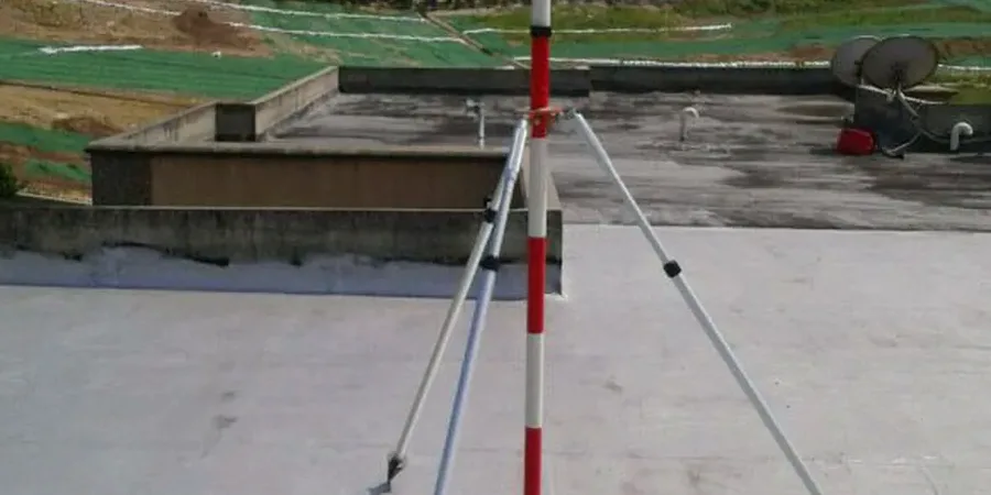
Our services
Our excavation monitoring work in Cairns covers the full project timeline — from baseline pre-construction surveys through active cut phases to post-construction settlement checks. Each package is assembled for the specific ground conditions on your site.
Deep Excavation Monitoring
Inclinometer arrays, load cells on struts and ground anchors, and piezometer nests installed behind the retention system. Designed for multi-level basement digs in the CBD where adjacent buildings cannot tolerate movement beyond 10 millimetres.
Slope Face and Cut Monitoring
Automated total station prisms on the face and crest, coupled with real-time rain gauge data and pore-pressure transducers. Suited for road cuttings, pipeline trenches, and subdivision bulk earthworks across the Northern Beaches corridor.
Vibration and Settlement Surveys
Triaxial geophones and precise levelling runs on neighbouring structures when rock hammering or blasting is required. Reports formatted for council compliance and neighbour dispute resolution.
Q&A
What does geotechnical excavation monitoring cost on a typical Cairns project?
For a standard residential or light commercial cut with automated total station monitoring, a vibrating wire piezometer, and weekly reporting, budgets typically fall between AU$1,350 and AU$3,470 depending on the number of instruments and the required monitoring duration. Larger commercial excavations with inclinometer casings and multiple alarm thresholds are quoted after a site walk.
How soon can you mobilise monitoring instruments to a Cairns site?
We keep a full inventory of inclinometer casing, piezometers, and survey targets in our North Queensland stores. For urgent situations — a face that has started cracking during the wet season — we can have instruments installed and logging within 48 hours of your call.
Do you set alarm thresholds, or do we manage that ourselves?
We configure the system together during the pre-start meeting. We propose initial threshold values based on the geotechnical model and AS 4678, then hand over a dashboard where the project engineer can adjust triggers as the excavation progresses. All alert settings are reviewed weekly.
What happens to the monitoring data after the excavation is backfilled?
We deliver a full PDF and CSV archive that includes daily logs, exceedance reports, and a close-out letter from the supervising geotechnical engineer. The package is structured to slot directly into your project quality records and can be submitted to the principal's representative or council if requested.